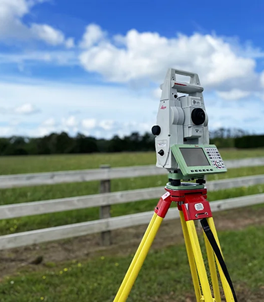
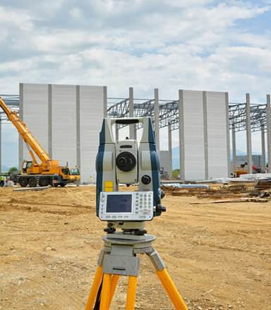
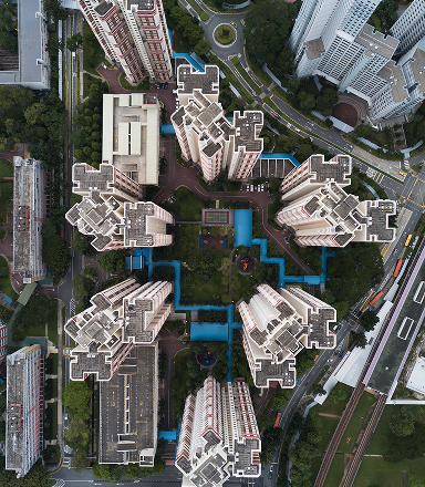
We perform precise cadastral base mapping from our own digital files and the various digital and analogue/non-digital files of public agencies, we have been involved in the development of estates, layouts and Land schemes. Our experienced field and office staff maintain the integrity of cadastral boundaries, using cutting edge technology while cost-effectively compiling base maps appropriate to each client’s specific requirements. Some of which includes but not limited to:
We employ full range of geospatial
technologies to support the spatial information requirements of industries, government,
municipalities, environmental agencies, and a wide range of commercial companies.
We have in house well experienced GIS Analysts and developers. We deliver GIS solutions to a
wide variety of business operations and technology platforms, and we are committed to effective
project management, timely service delivery, and business-focused solutions.
We also do Geospatial data mining to help companies correlate their strategic, market research,
and operational data. Amid this information are the keys to making mission critical marketing
decisions that cross industries such as Real Estate, Retail, Banking, Forestry,
Telecommunication, Agriculture, Power, Oil and Gas etc.
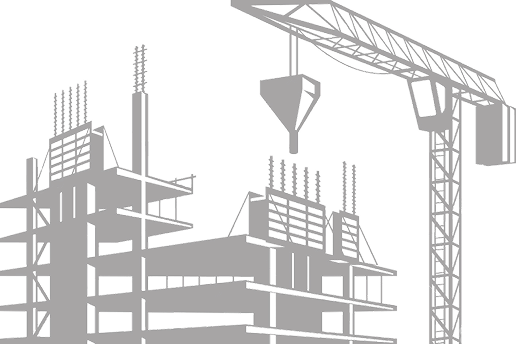
We provide specialized engineering and construction services to contractors, developers, and industrial companies, including services for major plant site, design-build projects and smaller construction projects. Our specialties include commercial and industrial buildings, resource processing facilities, bridges, roads, dams, and municipal infrastructure. We enhance construction cost efficiencies by establishing precise project control systems and structural layout based on a careful analysis of the client’s requirements.
We integrate the latest
navigation and echo sounding technology in carrying out hydrographic and bathymetric surveys of
water bodies. Most of our Bathymetric Survey work is for charting for pre and post construction
surveys for which we can provide a professional and cost-effective positioning and quantity
evaluation services.
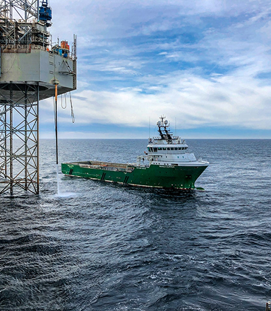
We also provide positioning services both Onshore and Offshore which can be utilized by the Oil
and Gas industry for Rig Moves, Drilling and other related services.
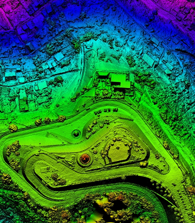
We utilise both manned Aircraft and Unmanned Aerial Vehicles (UAV) in aerial surveying operations. Our team of experienced UAV Pilots integrate several drone flight planning software for simulating flight operations before the actual flight. We are experienced in producing high quality deliverable from our aerial surveying operations with High Precision GNSS receiver referencing. Such deliverable includes Orthophotomosaic, Digital Terrain Models (DTM), Digital Surface Model (DSM) and Digital maps. Some of our drone services are:layout based on a careful analysis of the client’s requirements.
For very Large area we carry out Aerial Photogrammetry Survey with Aircraft. We have international partners for such projects. Aerial LiDAR Survey is also one of our specialty for 3 Dimensional Modelling of the earth surface for Agricultural Purpose or Large scale infrastructure development.
Contact Us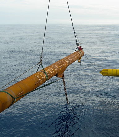
Geophysical and geotechnical
assessments are used to collect and analyse data to better understand seabed and subsurface
conditions.
These surveys help engineers determine potential engineering constraints and identify safety
hazards by collecting information on the nature and mechanical properties of the seabed.
Whether you have a clear vision or need guidance to bring your ideas to life, Sacredion is here to help. Let's collaborate to create something extraordinary.